|
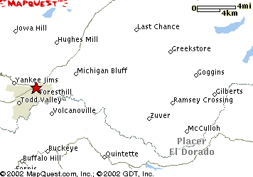
This shows the Foresthill area, denoted by the red star. The area to the right is the rugged area of the Sierra Nevada mountain range. In fact, much of that area, between Foresthill and towards Lake Tahoe (off the right side of the map) is called the Desolation Valley wilderness. Before the "Digital Choke", that area used to be a very popular hiking and camping area. My cabin is located somewhat in the center area of the map. |